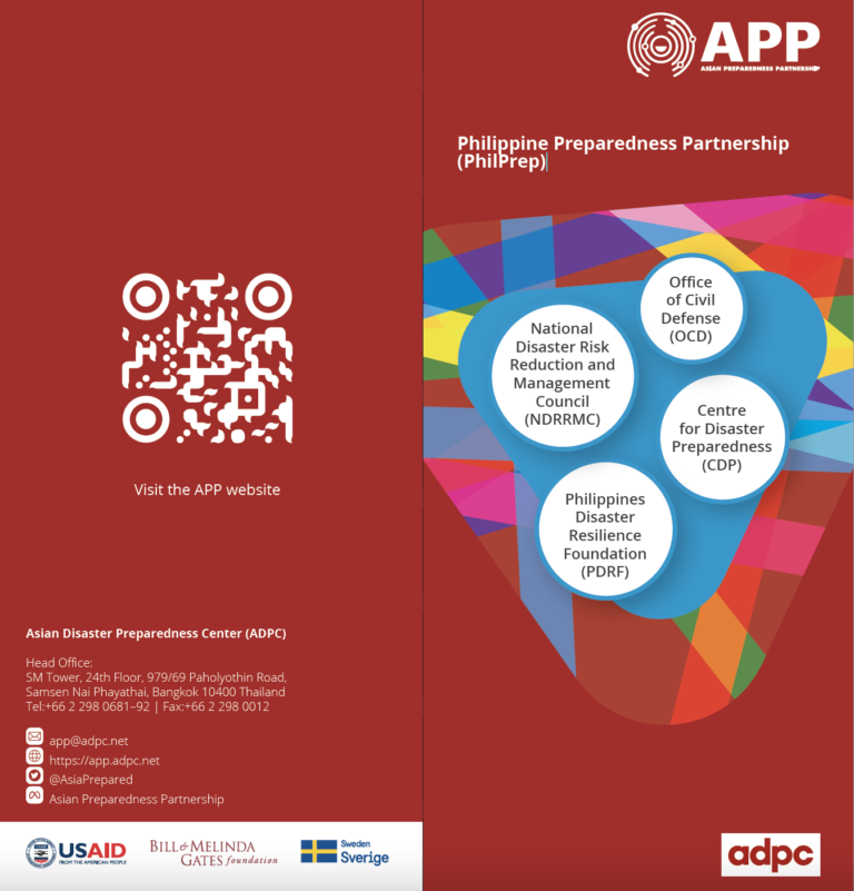
OCD was founded in 1972 and is an organization with the Philippines’ Department of National Defense which serves as the implementing arm of the National Disaster Risk Reduction and Management Council (NDRRMC). It has the primary mission of administering a comprehensive national civil defense and disaster risk reduction and management program by providing leadership in the continuous development of strategic and systematic approaches as well as measures to reduce the vulnerabilities and risks to hazards and manage the consequences of disasters.
CDP was founded in 1999 and is a resource center for community-based disaster risk management. It has specifically contributed to the capacity-building of NGOs and government through interactive training and networking activities on preparedness, mitigation and prevention.
PDRF was established in 2009 as the country’s major private sector vehicle and coordinator for disaster management. It works with field experts and humanitarian institutions to organize and coordinate private sector solutions towards disaster management.
The UP Resilience Institute was established as a proactive hub of benchmark innovative information vital to the nation’s efforts in climate change mitigation and adaptation. Its mission is to empower local communities through multidisciplinary actions toward resilience.
Learn more about the Philippine Preparedness Partnership (PHILPREP) – APP’s national chapter in the Philippines. The partnership work to promote local-led disaster preparedness and response across the country with the cooperation of local partners. PHILPREP also strives to empower the global south through South-South learning and knowledge exchange consolidated from its extensive engagement with communities.