Watch how ADPC’ worked with Office of U.S. Foreign Disaster Assistance, and other partners to enhance the disaster response capacity of Cambodia by establishing Cambodian Humanitarian Forum (CHF) that has brought together national response and humanitarian NGOs with a common message and commitment of providing collective response. The program focused on improving humanitarian response and strengthening the leadership capacity of NGOs across Cambodia – with support from the National Committee for Disaster Management (NCDM), Royal University of Phnom Penh (RUPP) and Partnership for Development for Kampuchea (PADEK).
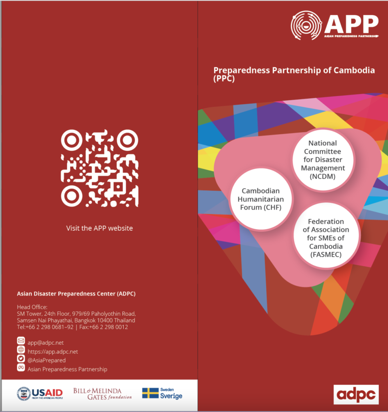
Asian Preparedness Partnership (APP) is an upscaling of work completed under the CHF pilot project implemented by ADPC and USAID Office of U.S. Foreign Disaster Assistance which successfully lead to strengthening of the local humanitarian network through a series of capacity development activities.