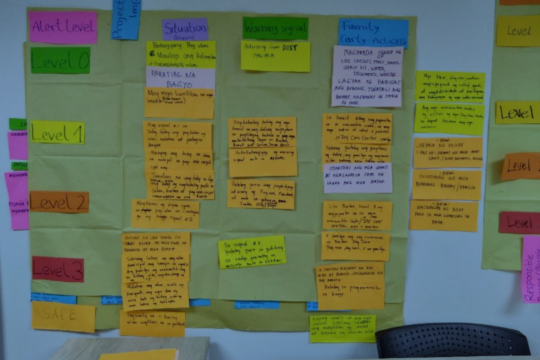
Tarlac City, Philippines – For Barangays San Isidro and Tibag, the early warning system established through Project Talagháy did not begin with sensors.
It began with conversations about where flooding occurs, how communities currently receive warnings, which preparedness structures were missing, and what local officials and residents believed would make warnings more useful.
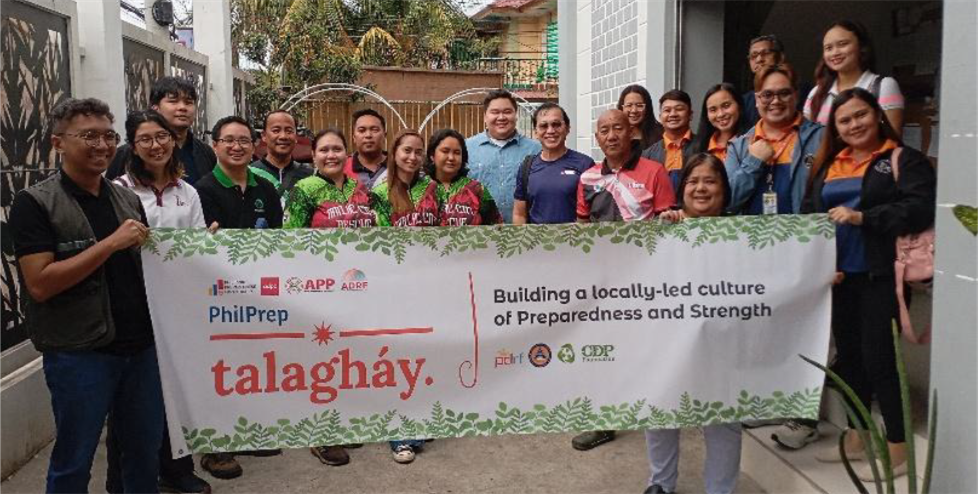
That sequence became one of the defining features of the Philippine Preparedness Partnership’s first project under the Asian Disaster Readiness Fund (ADRF). Implemented from December 2024 to June 2026, Talagháy: Building a locally-led culture of preparedness and strength evolved from community assessment and institutional strengthening into a functioning combination of local planning, monitoring technology and multi-stakeholder cooperation.
Risk was mapped before technology was installed
Early consultations identified significant preparedness gaps in the two barangays, including recurring inland flooding, limited early warning arrangements, gaps in Barangay DRRM plans and committee structures, and limited preparedness training.
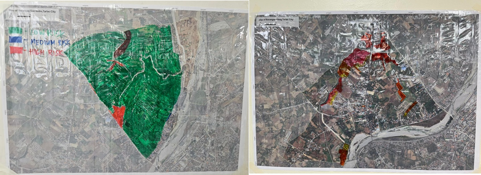
PhilPrep responded by strengthening Barangay Disaster Risk Reduction and Management Committees, while community members developed hazard maps drawing on their own knowledge and experience. Importantly, these maps were treated as living information rather than fixed project outputs. They were then scientifically validated through field visits and by comparing them with national risk maps using 25-, 50- and 100-year return periods.
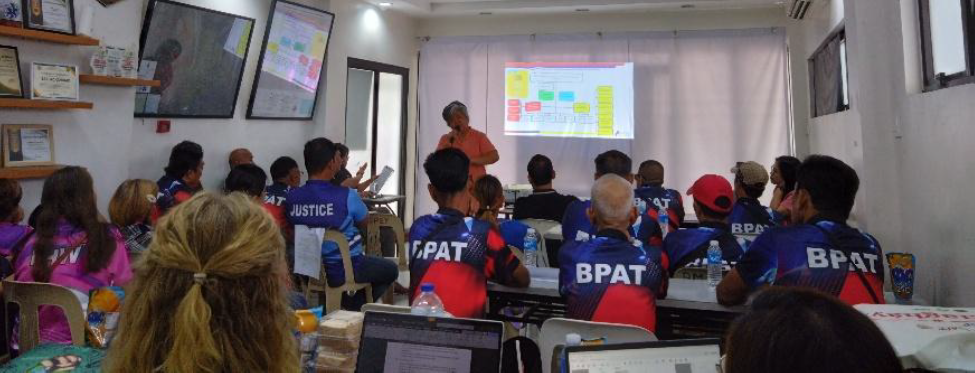
In San Isidro, participants observed that the hazard map produced later in the process had changed from an earlier version following heavy monsoon rains and a tropical storm, illustrating how lived experience continually updates local understanding of risk.
The process then moved into community-led early warning planning. San Isidro developed a barangay-level Early Warning System Plan, while Tibag developed a family-specific EWS Plan, extending preparedness to the household level.
Technology was added to a system already being built
Only after local risks and operational needs had been assessed did the project move towards installation.
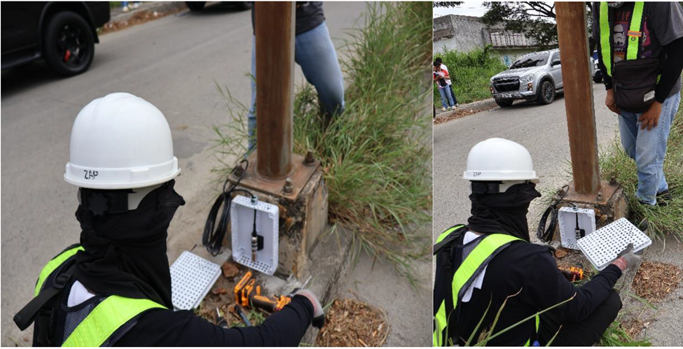
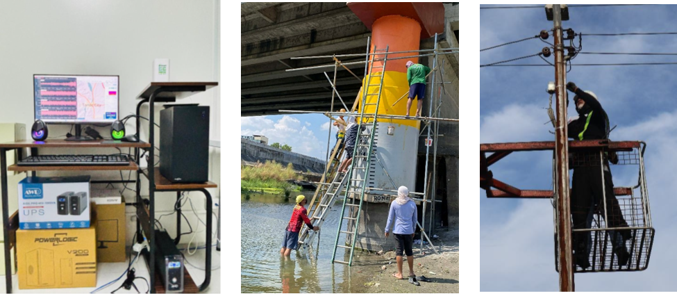
Over subsequent months, Project Talagháy established an interconnected system comprising two flood sensors, a Raspberry Shake seismograph, a communications gateway and visible river-level warning markers. A multi-date river survey involving Tarlac State University and government technical offices helped establish the basis for river-level monitoring and warning thresholds.
Flood-level markings were then painted along the Aquino Bridge and adjacent dikes, translating technical river information into a visible warning reference that community members can readily interpret.
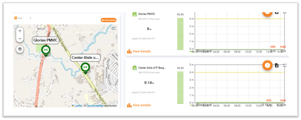
The digital component brought the information together through the Project Talagháy Online Dashboard, which allows users to monitor flood sensor readings, earthquake information and weather metrics.
In May 2026, barangay, city and provincial officials, academic institutions and private-sector representatives undertook hands-on orientation on the dashboard and visited the installed monitoring equipment across Tarlac City.
Building the institutions around the systems
The project’s achievement was not simply that equipment had been installed, but that responsibility for its use and sustainability was distributed across institutions. Tarlac State University became a key academic partner, supporting hazard mapping and exploring the use of data for research and capacity development. The Provincial and City DRRM Offices, engineering offices and other government institutions supported technical coordination and installation, while private-sector partners contributed expertise and host facilities.
Discussions on a multi-party agreement also focused on the maintenance and longer-term management of the EWS devices after project implementation. This is an important step in moving the investment from a project asset towards a locally supported system.
This experience reflects a core lesson documented by PhilPrep at project completion: technology by itself does not create preparedness. Its value depends on practical training, institutional arrangements and the confidence of local actors to interpret and act on the information it provides.
Local experience became a platform for wider learning
Project Talagháy also extended beyond the two barangays.
Representatives participated in peer-learning visits to Barangay Bunlalacao in Pangasinan and later Marikina City, examining established early warning practices, hazard mapping, flood monitoring and local response systems that could inform Tarlac’s own approach.
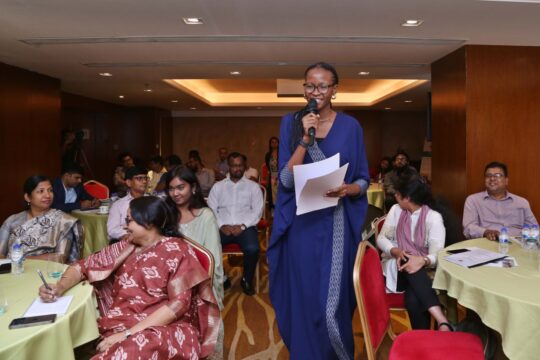
By June 2026, the project’s experience had become a case study for a much broader discussion. The two-day LOKALISASYON: National Multistakeholder Summit on Locally-Led DRRM brought together more than 100 participants each day from government, civil society, academia, the private sector and other organizations.
Rather than presenting localization as an abstract principle, the summit used experiences including Talagháy to examine how local knowledge, scientific expertise, institutional partnerships and financing can be brought together in practice.
The result of the first ADRF cycle in the Philippines is therefore larger than an IoT installation.
Over the implementation period, two barangays moved from identifying preparedness gaps to strengthening their disaster management structures, producing their own early warning plans, participating in the design of monitoring systems and connecting those systems to institutions capable of supporting them beyond the project.
Project Talagháy ultimately demonstrates what ADRF’s emphasis on co-creation, innovation and multi-stakeholder localization can mean on the ground: technology becomes useful not when it arrives in a community, but when local actors understand why it is there, help determine how it works and have a stake in what happens to it next.